
 List
List Abstract
 One+Abstract


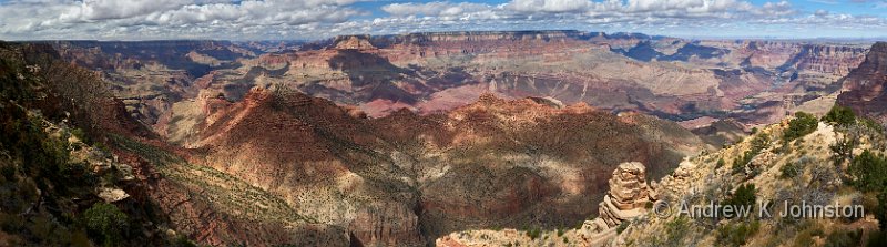
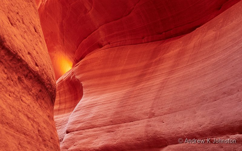
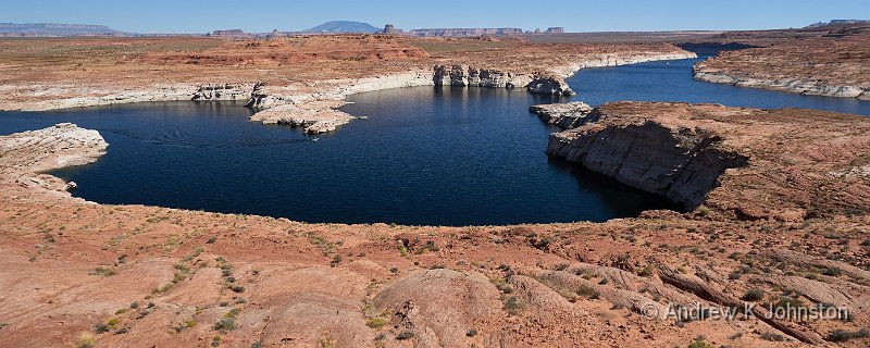
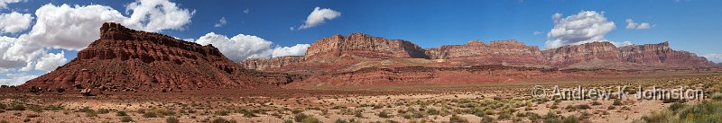
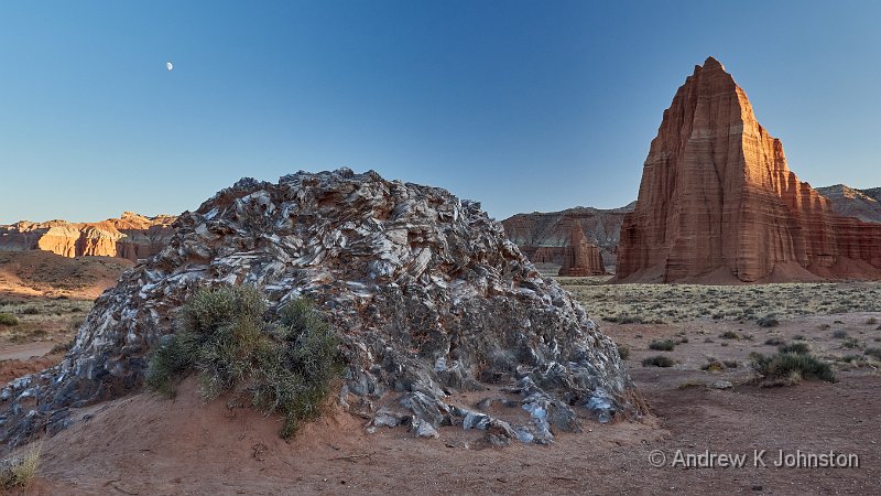
| Desert View Panorama | |
| Camera: Panasonic DC-G9 | Date: 02-10-2023 12:15 | Resolution: 13416 x 3742 | ISO: 400 | Exp. bias: 0 EV | Exp. Time: 1/640s | Aperture: 8.0 | Focal Length: 18.0mm | Location: Desert View | State/Province: Vista Encantada, Coconino, Arizo | See map | Lens: LUMIX G VARIO 12-35/F2.8II | |
With our trip now firmly in the rear-view mirror, I’ve looked back and tried to condense what we experienced into guidance for future visitors and photographers.
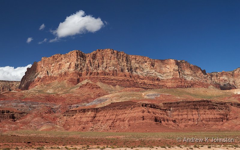
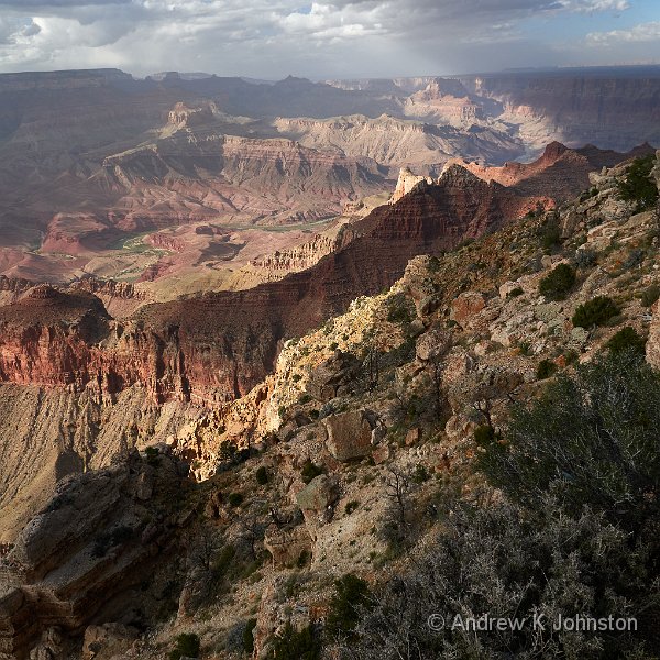
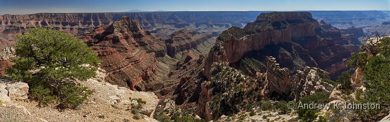
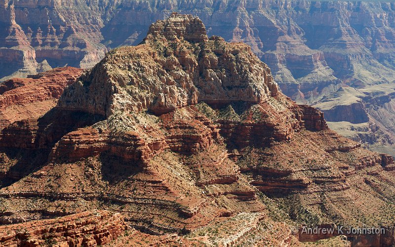
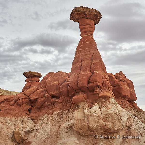
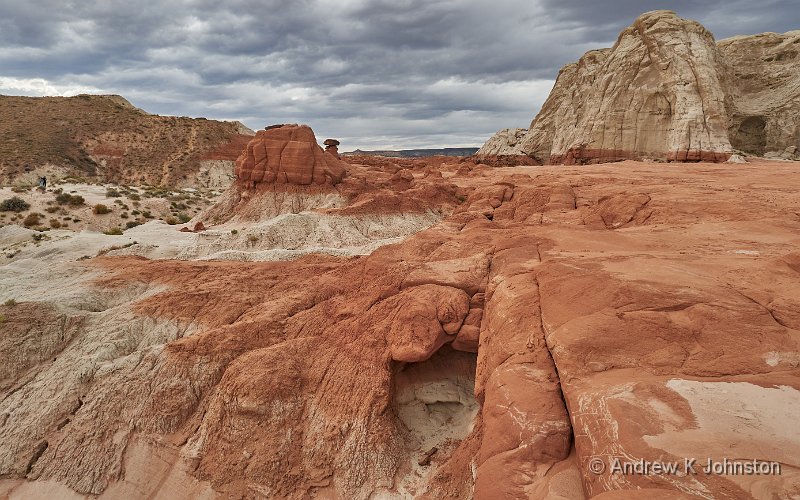
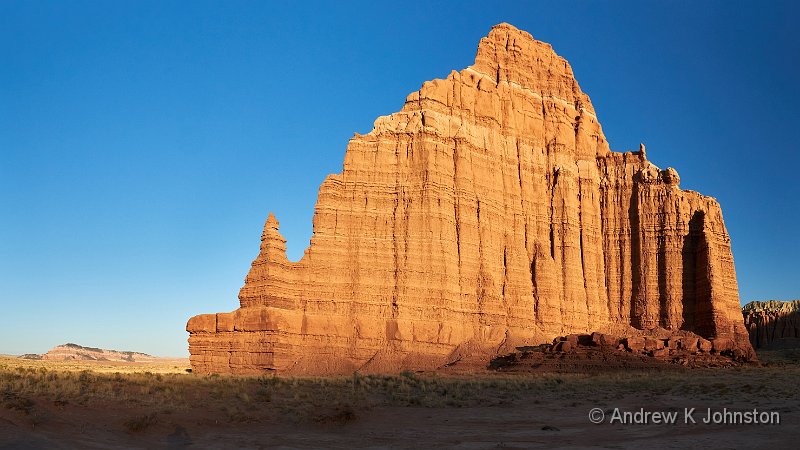
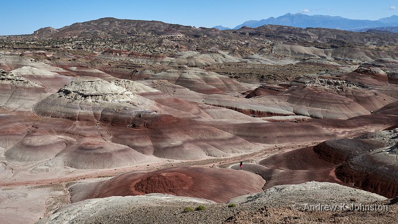
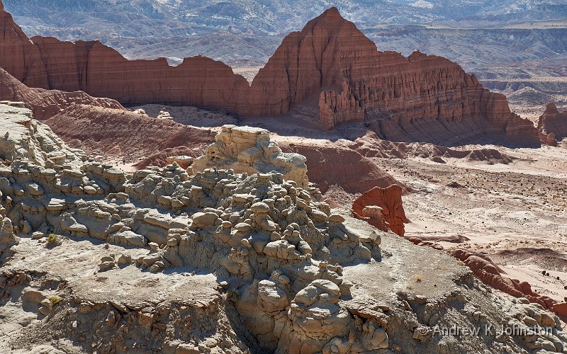
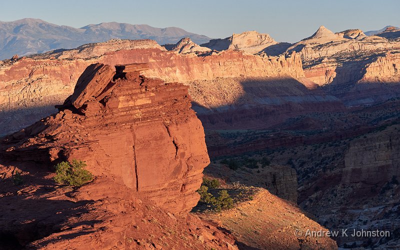
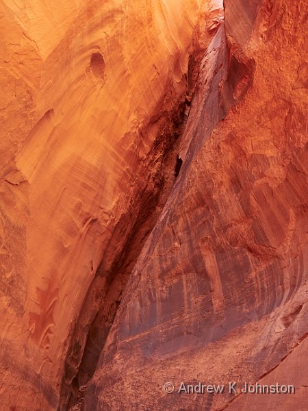
The primary purpose of our Red Rock Trip was very definitely to look at the rocks and take pictures. On that it scored 100%. The scenery of Southern Utah, Northern Arizona and the adjacent bits of Nevada is as stunning as it always has been – “always” in this case being as long as sentient beings have been there to look at it.
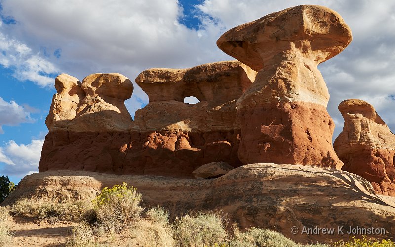
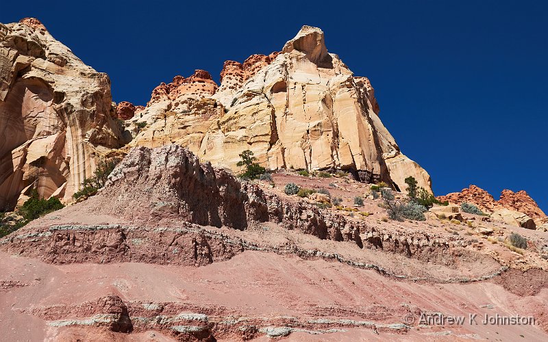
| Devil’s Garden (Show Details) |
We finally hit the sweet spot in terms of the time at each location. A lot of Grand Circle Tours, and similar jaunts through this area, are predicated on spending a day or so at each stop, aiming to tick off all the well-known sites on a whirlwind tour. That’s what we did back in 1994. Our 2007 trip was a bit more relaxed, but we still covered a lot of ground and left some places feeling we hadn’t done them justice.
At the other end of the scale, if you are a keen hiker or off-road driver you could spend a week or more at some of these locations and not repeat yourself, but that’s more of a challenge if you’re focused on the readily-accessible parts. The sweet spot, at least for us, seems to be about three nights, with two full days plus maybe a late afternoon wander on arrival, and a sunrise before departure. If you need to allow for the possibility of poor weather then make it four nights, but be prepared for a bit of repetition if the skies stay as you want them.
The exception is Kanab. Like Moab, at the opposite end of the Great Circle route, it’s a wonderful base for exploration in all directions. It works for daytrips to all the great locations on the Paria Plateau, the Grand Canyon North Rim and Zion. With an early start it would even work for Bryce Canyon. Some of the local spots, such as the Toadstools and Peekaboo Canyon, are also excellent, but don’t waste your time on Johnson Canyon! We spent 5 days, but could have filled one or two more.
As in many things, there is a bit of a Law of Diminishing Returns, and you may get to the point of being “Canyoned Out”. If you can afford to do so, consider a couple of shorter trips rather than one long one. Alternatively do something similar to what we did, and build progressively to the most dramatic locations near the end.
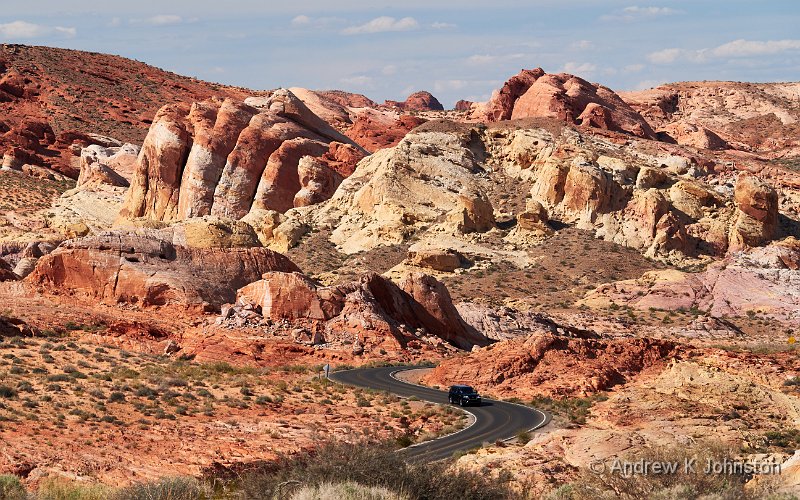
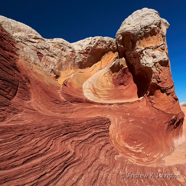
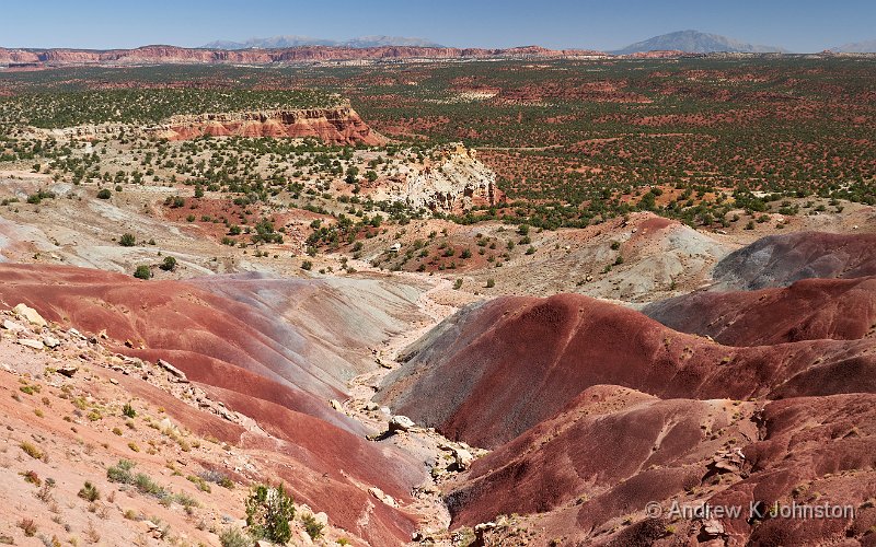
| Pastel Pink Canyon, Valley of Fire State Park (Show Details) |
Cost, Accommodation and Food
The days when a US fly-drive was a relatively inexpensive holiday are long gone. I complained about the expense of our Hawaii trip in 2019 compared with other travel that year, but this year was much worse, and in money terms easily doubled the expense of any previous holiday except the Hawaii one.
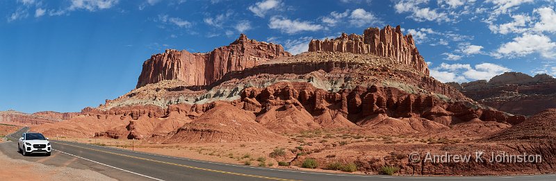
There were a number of contributing factors, some under our control, others not. We opted to spend a few more days than usual, just over three weeks rather than just under on previous trips. After bad experiences with some very poor alleged “hotels” in Hawaii (one of which was just a step above “doss house”) we went up a notch in some cases, although not always successfully. We went to Hertz for the hire car, and deliberately chose a mid-range SUV with four wheel drive, but we could probably have done most (but not all) of the driving in something a bit cheaper. We took a hit on the 3rd night’s hotel booking in Las Vegas, choosing instead to get out of town and on with the more enjoyable part of the trip.
However beyond that things were outside our control. An element of the change was due to inflation, and it didn’t help that the pound was weaker against the dollar, ironically for a short period almost exactly coinciding with our trip.
The travel and hospitality sectors are desperately trying to recoup their losses during the pandemic. Some of this shows up in reduced service levels, expecting the customer to do something the provider traditionally did, like making the bed on a daily basis, but more often it results in higher prices. We stayed in a couple of hotels we had visited before, but the price had not far off doubled since 2007. In other cases, like the hotels near Bryce Canyon and Capitol Reef, there was blatant price gouging, admittedly supported by high demand.
That said, all the hotels were good, with spacious rooms in which things worked correctly, and mostly quiet once you’d unplugged the fridge and turned off the AC. However I’d give most of the hotel restaurants a wide berth.
You don’t visit the Desert Southwest for the gastronomic experience, or at least not in a good way. At best the food is basic but good, more often it’s just basic, occasionally (the Cameron “fine dining” encounter springs to mind) it’s actively bad. However in previous years this was compensated by low prices. No longer. Every “decent” meal cost over $100, typically for one shared course, one course for two, and a couple of drinks. Breakfasts were $50. There were a few honourable exceptions, like the Mexican restaurant in St. George, but few and far between.
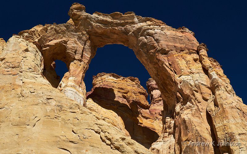
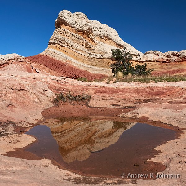
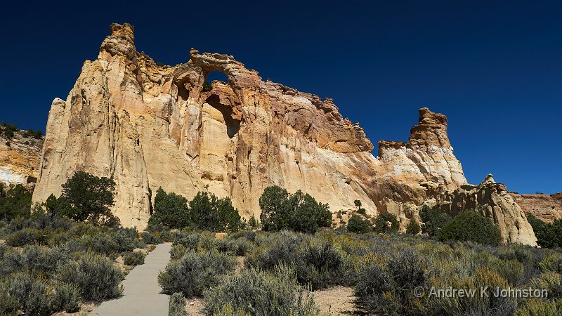
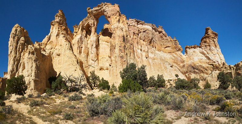
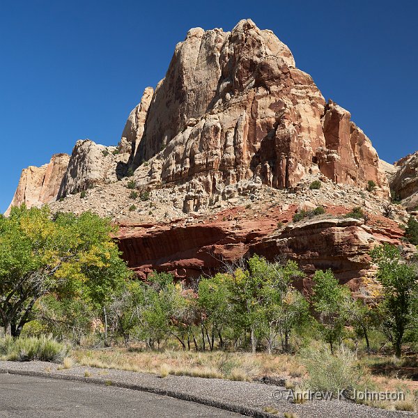
| Grosvenor Arch (Show Details) |
Shopping
In previous years I have leaned heavily on my US holidays to top up my wardrobe. American shopkeepers understand that people with a waist of 40″ and inside leg of 32″ are equally likely, if not more so, to have money to buy clothes as those the other way around. UK shopkeepers are blind to this, and keep stock only for men whose careers are either in modelling, or cleaning pipes. Furthermore in the past the US has been a reliable source of colourful T-shirts and sweatshirts with designs featuring great scenery, charismatic megafauna, or native American designs.
But not this year. The merchandising in and around the parks was, frankly, appalling, mainly “lowest common denominator” graphic designs which looked like they came from the pen of a capable 8 year old. I only found a couple of suitable T-shirts, and those were in “last season’s stock” sale in a small campsite shop. I bought a sweatshirt and hoodie, but they were generic items from big manufacturers. And that was about it. Frances fared slightly better, but only just.
I appreciate that fashions change, and some of my favourite items are now quite long in the tooth, but it seems odd that a lucrative market is being served so badly when it was previously served so well. Disappointing.
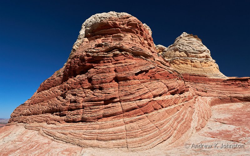
| Peekaboo Canyon Kanab (Show Details) |
Organised Trips
This is a positive story. I did three jeep tours: one with Backcountry Safaris in Capitol Reef, and two out of Kanab with Dreamland Safaris. All were excellent, well driven and guided (even if young Alex’s driving style on the highway took a bit of getting used to), got me close to scenery I would not otherwise have reached, and in the grand scheme of things good value for money. If you want to go beyond the areas which are a short walk from the public car park, I strongly recommend a jeep tour.
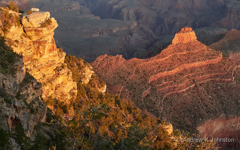
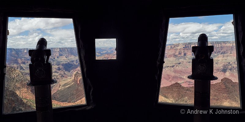
The Grand Canyon flight wasn’t quite such a resounding success, especially compared with my helicopter and microlight flights back in 2018 and 2019. It was well-enough done, although given that I had explicitly requested a good seat for photography shunting me into the rear seat with scratched windows wasn’t the best, and I’m not sure I would recommend Grand Canyon Airlines. If you want to get close to the action, choose a helicopter over a fixed-wing flight.
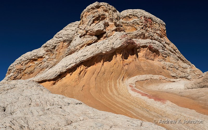
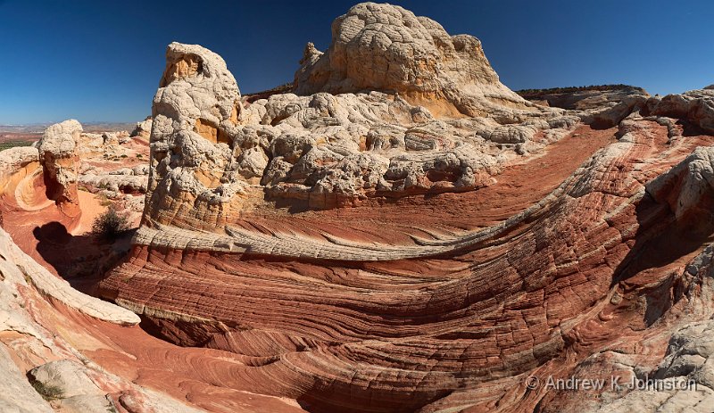
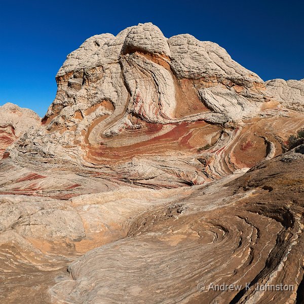
| White Pocket (Show Details) |
Photography: “f/8 and be there”
Technically, getting good photographs of a trip like this is not a challenge. Get yourself to the right place, at a reasonable time, and you can’t go too far wrong. There were plenty of visitors shooting with their phones who will probably get acceptable results in most cases. While I am sure there will be purists/snobs who say different, I’d say almost any interchangeable lens digital camera with a couple of zooms, used properly, should give great results.
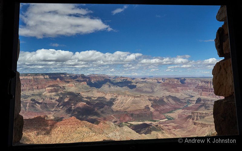
In terms of getting to the right place I continue to recommend the Photographing the Southwest series by Laurent Martrès*. The books were updated fairly recently, and are now available in Kindle format which means you can check detailed instructions on your phone. I’d have never found “Photo Point” in Zion without it (“40 feet to the south of the un-named car park between stops 7 and 8”).
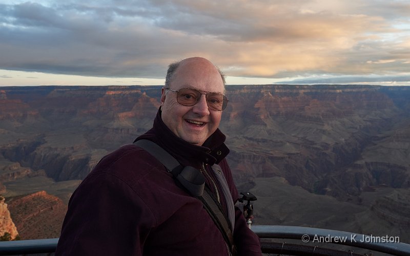
Yet again the Panasonic G9 proved a reliable workhorse, used for all but a few evening shots. Although the 12-35mm standard zoom did most of the work I used almost my whole range of lenses from 9mm to 300mm, however I don’t think I got anything useful with the heavy and flare-prone 7-14mm. (Although given that I missed it in Patagonia when I didn’t have it with me, I don’t regret carrying it.) A couple of “birds in flight” shots weren’t great, but that’s not the G9’s forte – otherwise it delivered on almost every image. The G9’s mk II successor is now in my hands, but it’s got an impressive record to live up to.
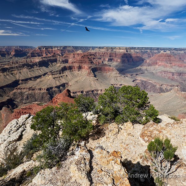
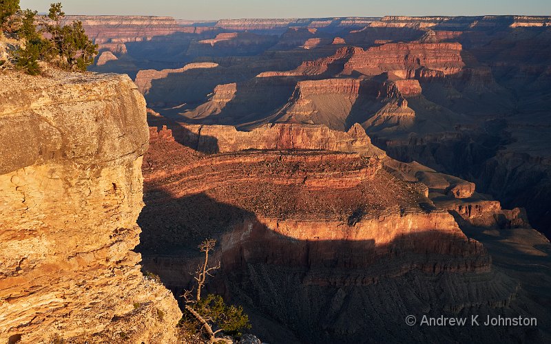
| Mohave Point (Show Details) |
I came back with 86GB of images, a total of 3236 shots on the G9 plus a handful each on the Sony RX100 and Panasonic GX8. As there wasn’t much “action” photography the initial discard rate was quite low, so I have a lot to get through. I did do a lot of panoramas, so many so that I have had to develop a new workflow process to triage them, but otherwise this trip was light on multi-shot images, with only a handful of HDR and focus blend shots.
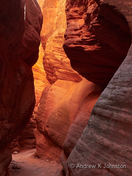
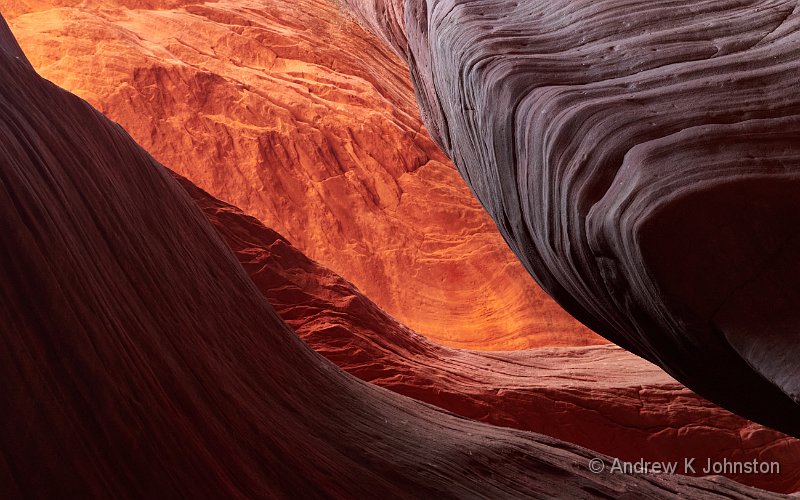
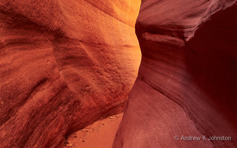
The only real challenges were dynamic range, especially in the slot canyons, and flare. The simple solution for dynamic range is to turn on all the camera’s over-exposure warnings and dial in sufficient exposure compensation to avoid badly blown highlights. As long as you’re shooting RAW you can then usually tweak highlight and shadow recovery to bring the image back into range. In extremis you can also do an HDR bracket, which should be easy given the static nature of most subjects, but I would be surprised if I have a handful of images for which this is really necessary.
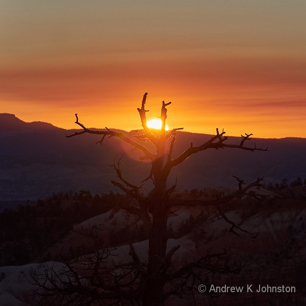
Flare was more of an issue. Some of the obvious sunrise and sunset shots meant shooting into the sun, but there was also an issue shooting near mid-day when direct sunlight was hitting the front of the lens at a very shallow angle. I’m very bad at remembering my lens hoods, but quite good at taking a shot with one hand while suitably positioning my hat with the other. I think this is a case of “do what I say, not what I do” and remember your lens hoods!
I’m not sure I actually took my tripod out of the suitcase. With the G9’s amazing dual image stabilisation I can hand-hold down to about 1/4s, and with a moderate-fast ISO and a fast lens that is adequate for even pre-dawn shots. However this is definitely a case for personal preference and knowing the limits of your camera and your hands.
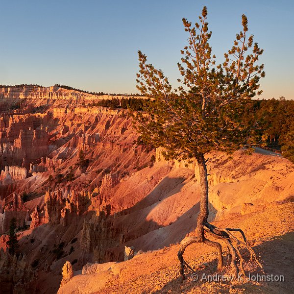
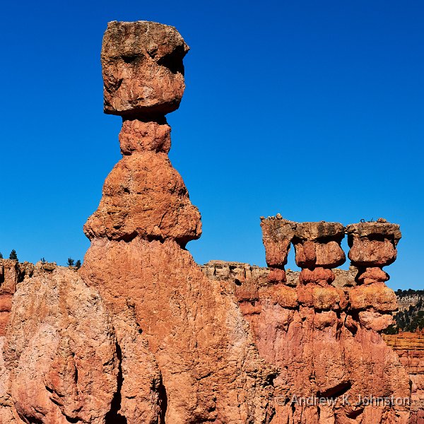
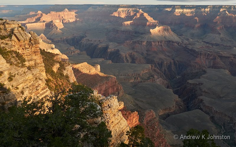
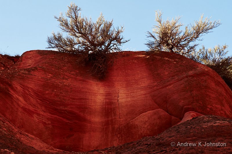
Many of these locations are really wonderful at golden hour, if you can make the timing work. The Devil’s Garden is a case in point, just remember it’s where the map says it is, not the car’s satnav! However other locations are actually better during the day – Sunset Point at Bryce Canyon only really works until about 5pm in early October, and many of the other Bryce locations are best shot in strong late morning light. That’s good news for practical travellers, who have to take their photographs during the daytime. I’m very happy with what I got in most cases, but I did run with polarising filters fitted to all the lenses almost permanently, except for a few pre-dawn shots, to reduce specular reflections and deepen the colours.
We were lucky with the weather, with brief rain only a couple of times, and most days were sunny and bright. We had our share of fluffy white clouds, but I’m also OK with “picture postcard” blue skies. If that’s what you get and you don’t like it, at least an even blue makes “sky replacement” easy 🙂 .
More tricky were the handful of days when it was overcast and dull. We suffered that on our previous drive through Capitol Reef and didn’t even realise what was there. However if life gives you lemons, then crank up the contrast using the dehaze and curves tool in your chosen image processor, and you should still get an acceptable result.
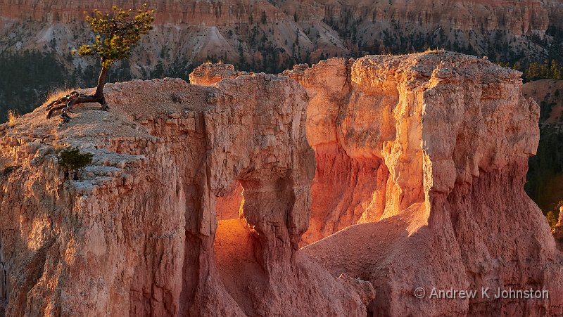
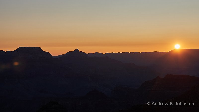
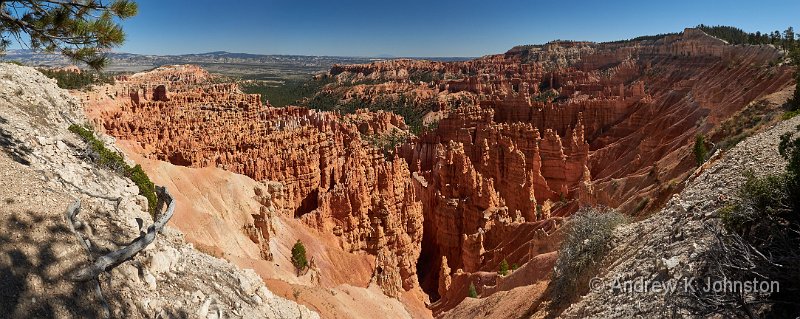
| Sunrise from below Sunrise Point Overlook (Show Details) |
One Line Summary
People very friendly, rocks very pretty, avoid almost everything that says “fine dining”!
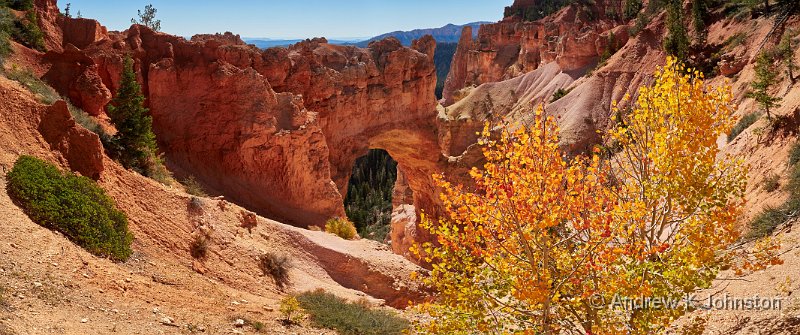
| Bryce Natural Bridge (Show Details) |
* Affiliate link
 Email me
 Others
 Main feed (direct XML)